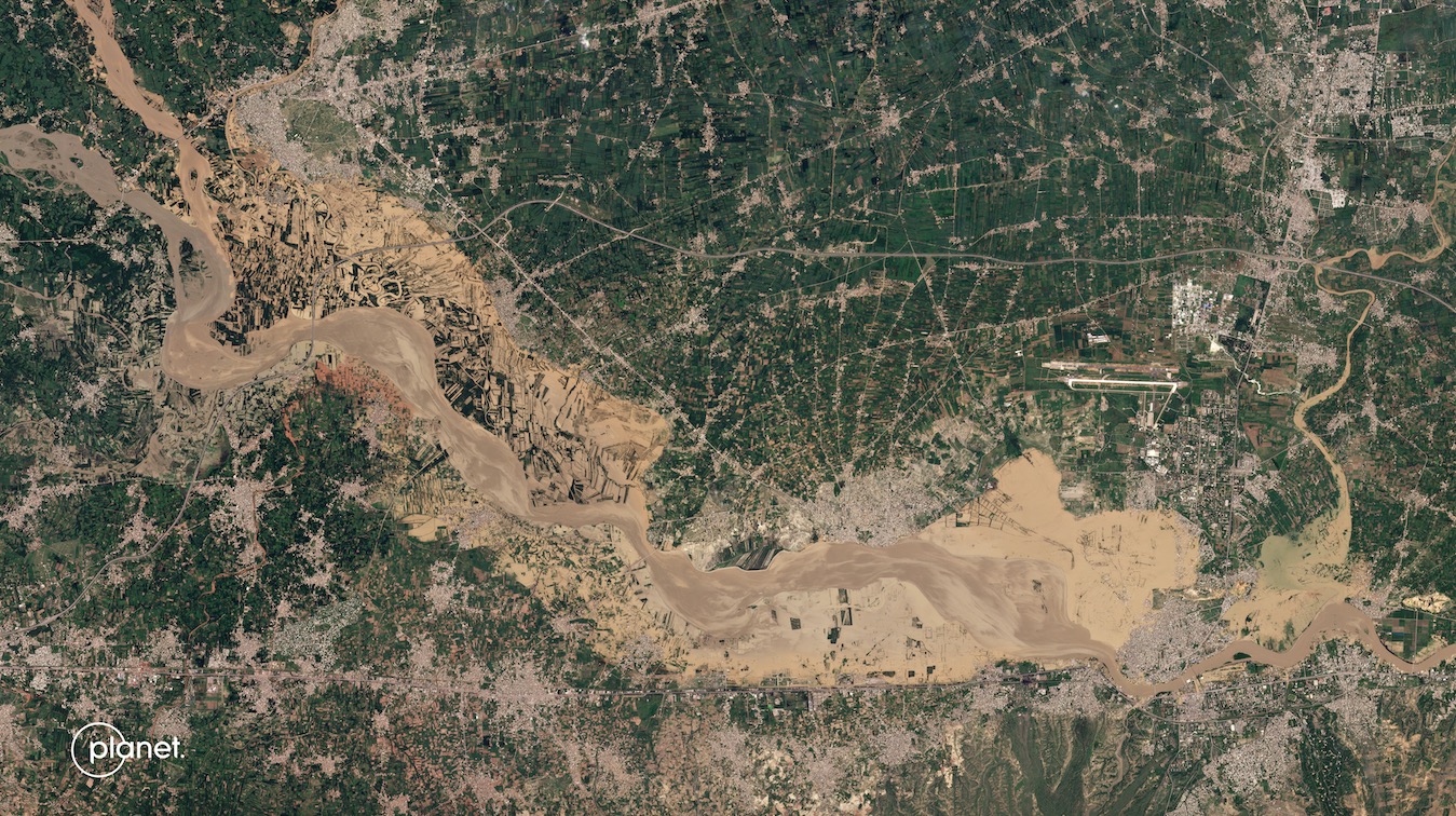
Predicting future floods: New AI tool gives realistic satellite-like views MIT scientists are developing an artificial intelligence (AI) tool that creates realistic satellite images of potential flooding scenarios. Astrobitica December 9, 2024 (Last updated: December 9, 2024) 1 minute read MIT scientists are developing an artificial intelligence (AI) tool that creates realistic satellite images of potential flooding scenarios. About the Author Astrobitica Administrator Visit Website View All Posts This post was originally published on this site Post navigation Previous: Black hole debate settled? Stellar-mass black holes found at heart of Milky Way’s largest star clusterNext: More than 10,000 supernovae counted in stellar census