
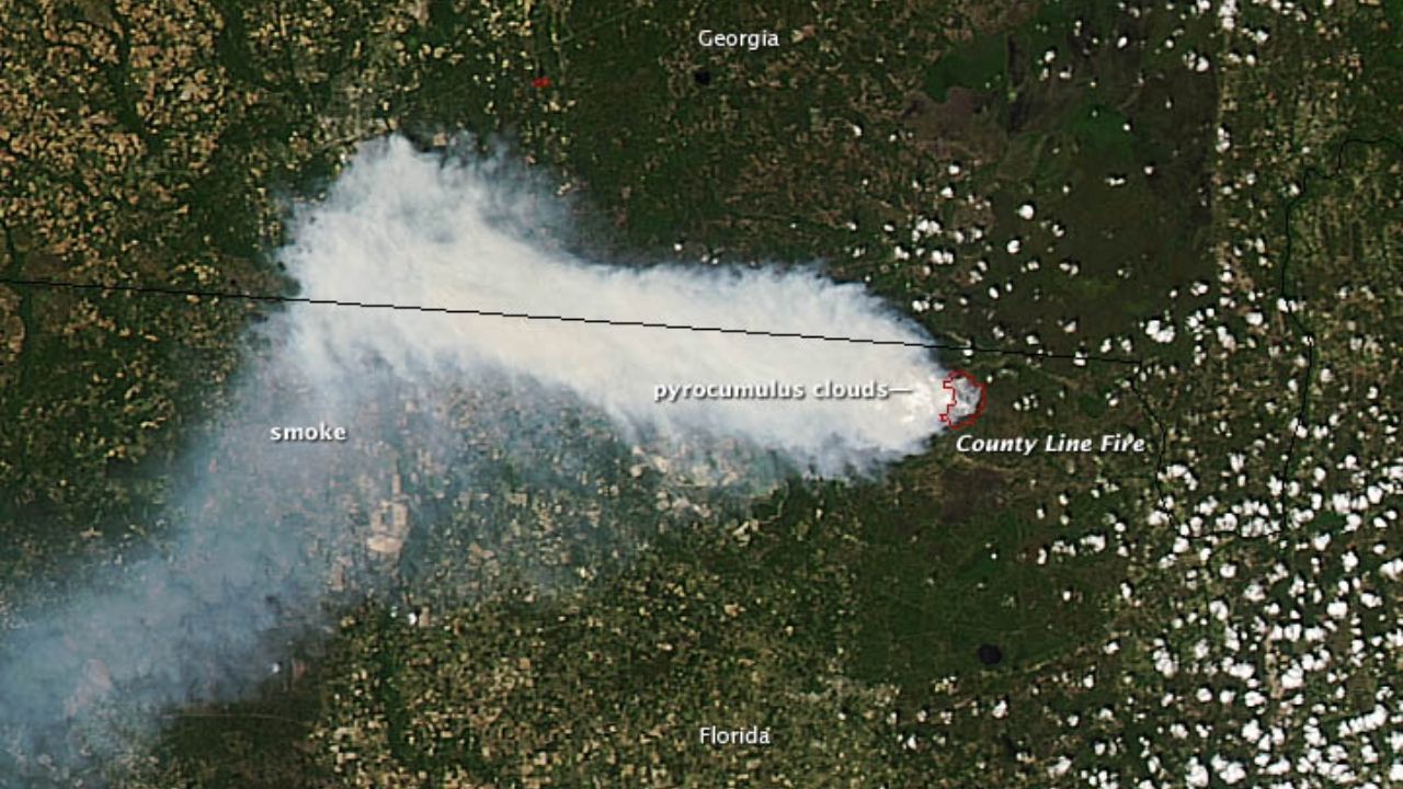
Is that wildfire smoke plume hazardous? New satellite tech can map smoke plumes in 3D for better air quality alerts at neighborhood scale For most of the past decade, forecasters have been able to use satellites to track these smoke plumes, but the view was only two-dimensional Astrobitica August 8, 2025 (Last updated: August 8, 2025) 1 minute read For most of the past decade, forecasters have been able to use satellites to track these smoke plumes, but the view was only two-dimensional About the Author Astrobitica Administrator Visit Website View All Posts Post navigation Previous: A 36 Billion Solar Mass Black Hole Detected Thanks To Gravitational LensingNext: Astronaut arrives at ISS, longs to be on the moon or Mars | On the International Space Station Aug. 4-8, 2025